Seal of Dane County County of Dane
Translate
Dane County Land & Water Resources Department

Land & Water Viewer

The Land & Water Viewer is an online interactive mapping application that can be used to create online and printable maps. Users can zoom in and out, add a variety of data layers (see examples below), and print and export maps. The tutorial videos show how you can use the Viewer to create a map(s) to submit with your Erosion Control or Stormwater Management permit application.
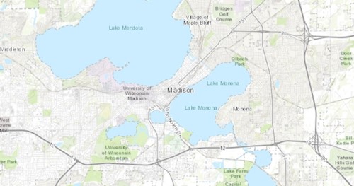
 

Land & Water Viewer interactive online mapping application

Viewable layers include:

  • Orthophotos/aerial imagery - recent and historical
  • Parks and recreation related
  • Thermally sensitive areas, cold water communities
  • Soils, elevation
  • Lakes, streams, wetlands
  • Parcels, and more...